

Israel Removes Map Showing J&K as Part of Pakistan from Website After Online Outrage
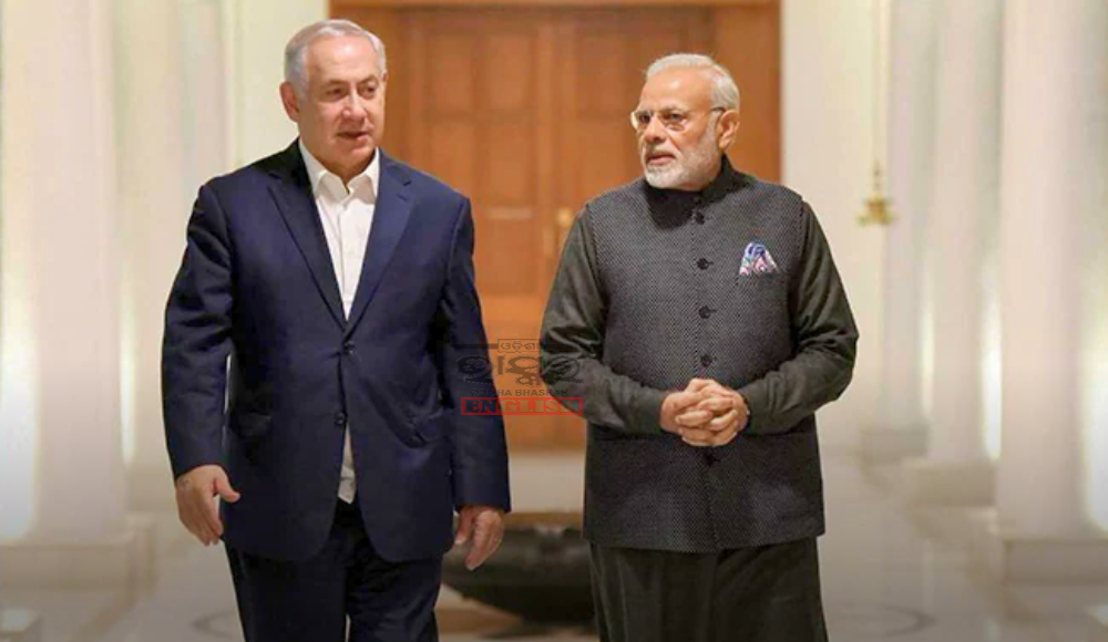

New Delhi: Israel has removed a map of India from its official website after it incorrectly displayed a part of Jammu and Kashmir as being in Pakistan, sparking a strong backlash on social media. Reuven Azar, Israel’s ambassador to India, confirmed the map was taken down, attributing the error to a mistake by the website editor.
The issue was first highlighted by a user on X, who questioned Israel’s stance on India’s territorial integrity. “India stands with Israel. But does Israel stand with India? Note the map of India (pay attention to Jammu and Kashmir) on Israel’s official website,” the user posted.
Responding to the tweet, Azar acknowledged the mistake, stating, “Website editor’s mistake. Thank you for noticing. Was taken down.”
India has consistently maintained that Jammu and Kashmir is an integral and inalienable part of the country.
The map controversy comes as Israel faces a multi-front conflict in the Middle East. The recent escalation began with the killing of Hezbollah leader Hassan Nasrullah and has since resulted in over 1,000 deaths and over a million people being displaced. Israel has intensified military operations, shifting its focus from Gaza to Hezbollah strongholds in Lebanon.
The crisis further escalated when Iran launched 400 missiles at Israel, prompting Israeli Prime Minister Benjamin Netanyahu to warn of potential retaliatory strikes.
Earlier, Netanyahu had displayed maps during his United Nations General Assembly (UNGA) speech, dividing nations into two groups—”The Curse” and “The Blessing.” India, along with countries like Saudi Arabia and Egypt, was placed in the “Blessing” category, while Iran, Iraq, Syria, and Yemen were labelled “The Curse.” These maps also depicted Palestinian territories and the Golan Heights as part of Israel.

 Home
Home Videos
 Odisha
 Nation
 World
World Crime
Crime Politics
 Sports
 Health
 Lifestyle
 Business
 Education
 Entertainment
Comments are closed.