

Weather Improvement Expected in Odisha from August 4 as Depression Weakens
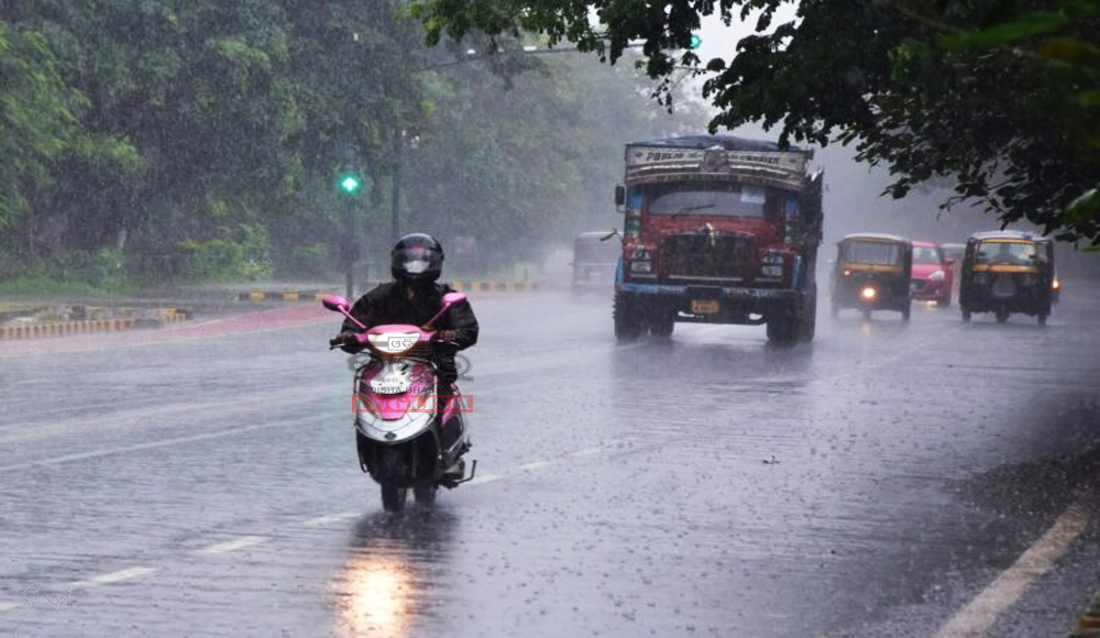

Bhubaneswar: The India Meteorological Department (IMD) has forecast light to moderate rain and thundershowers in Interior Odisha districts and a few coastal areas within the next 24 hours. This is due to a weakening Depression that is currently positioned over north Chhattisgarh.
The Depression has been moving west-northwest at a speed of 17 km/h over the past 6 hours. It is now located near latitude 23.5°N and longitude 83.1°E, approximately 40 km north-northwest of Ambikapur (Chhattisgarh) and 160 km south-southeast of Sidhi (East Madhya Pradesh). Over the next 12 hours, it is expected to continue its west-northwest movement, gradually weakening into a Well Marked Low-Pressure Area, while affecting northeast Madhya Pradesh and adjoining southeast Uttar Pradesh.
The Monsoon Trough is currently extending across various regions including Amritsar, Karnal, Meerut, Hamirpur, and the centre of the Depression in north Chhattisgarh. This trough then extends further eastwards to the Northeast Bay of Bengal. The ongoing Southwest Monsoon has displayed activity over Odisha.
Chhatrapur recorded the highest maximum temperature of 30.0°C, while Nuapada in the plains of Odisha experienced the lowest minimum temperature of 20.0°C.
Farmers are advised to take precautions as strong surface winds, ranging from 20 to 25 km/h, are expected to prevail along and off the Odisha coast, as well as the adjoining North Bay of Bengal over the next 12 hours. Consequently, fishermen are cautioned against venturing into the sea in these regions during this period.
 Home
Home Videos
 Odisha
 Nation
 World
World Crime
Crime Politics
 Sports
 Health
 Lifestyle
 Business
 Education
 Entertainment
Comments are closed.