

Odisha Braces Up For Possible Cyclone Post-IMD Warning
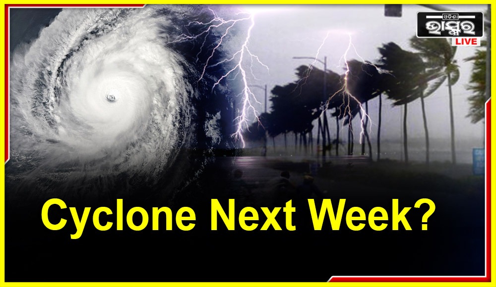

Bhubaneswar: According to the India Meteorological Department (IMD), a cyclonic storm is extremely likely to form over the Bay of Bengal during the next few days, clearing up all the rumours surrounding its creation.
IMD predicts that around October 20, the cyclonic circulation from yesterday over the south Andaman Sea will become a low-pressure system over the southeast and adjacent east-central Bay of Bengal.
The low-pressure region is forecast to proceed toward the west-northwest and strengthen into a depression over the central Bay of Bengal around October 22.
“The system is likely to further intensify into a cyclonic storm over the west-central Bay of Bengal,” tweeted IMD’s Regional Centre in Bhubaneswar today.
A #LowPressure is likely to form over SE & adjoining EC Bay of Bengal during next #48hours. It is likely to move WNW & concentrate into a #Depression by #22nd morning over Central BoB. It is very likely to #intensify further into a #Cyclone over Westcentral BoB subsequently
— Meteorological Centre, Bhubaneswar (@mcbbsr) October 18, 2022
The IMD emphasised that it had not issued any such alert and that predictions based on a US weather forecast model that a “super cyclone” could hit India’s eastern coast had been disregarded as “rumours” on Saturday.
However, a cyclonic circulation that formed on Monday over the southern Andaman Sea and its surroundings was reported by the regional weather forecasting centre of the IMD in Bhubaneswar on Tuesday morning. It was over the North Andaman Sea by this morning.
The Odisha government has also scheduled an emergency meeting for 4 PM in response to the IMD’s prediction of a potential cyclone over the Bay of Bengal.
Senior officials indicated that at the key meeting today, a number of topics, including disaster mitigation and measures to address any potential threats resulting from the cyclone, will be reviewed.
 Home
Home Videos
 Odisha
 Nation
 World
World Crime
Crime Politics
 Sports
 Health
 Lifestyle
 Business
 Education
 Entertainment
Comments are closed.