

Low Pressure Off Odisha Coast to Trigger Heavy Rainfall in State
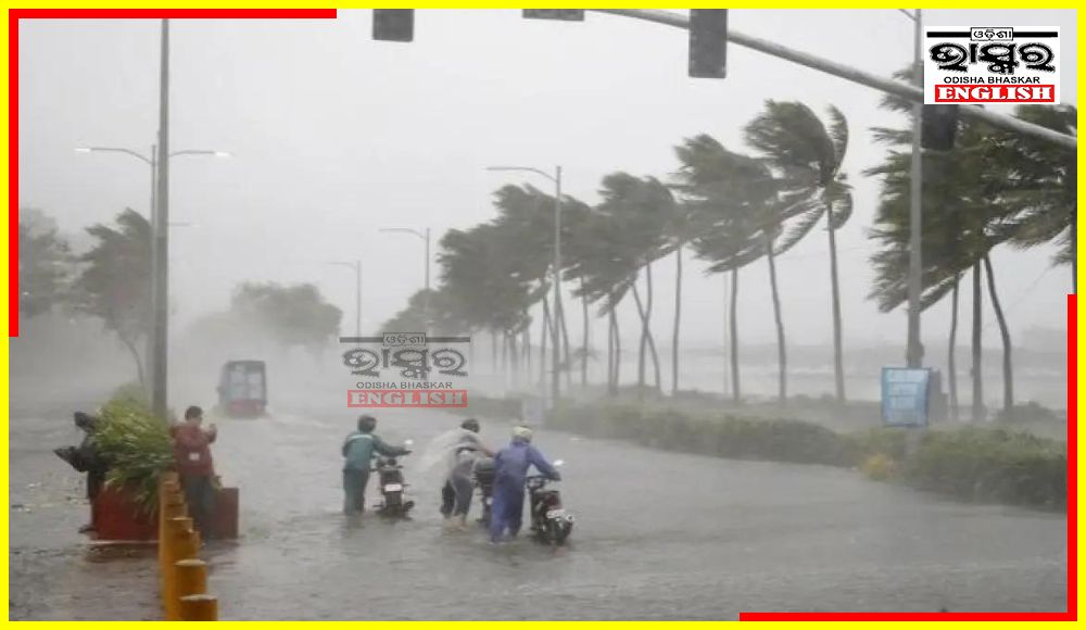

Bhubaneswar: A low-pressure area formed over the northwest Bay of Bengal off Odisha coast is likely to move west-northwestwards across Odisha during the next 2 days, said the India Meteorological Department (IMD) on Thursday.
The IMD’s Thursday morning bulletin stated, “Under the influence of the cyclonic circulation over northwest and adjoining westcentral Bay of Bengal and adjoining areas of north Andhra Pradesh-south Odisha coasts, a low-pressure area has formed over the northwest Bay of Bengal off Odisha coast. It is likely to move west-northwestwards across Odisha during next 2 days.”
The system is likely to trigger heavy rainfall across Odisha.
The Bhubaneswar Regional Meteorological Centre has issued heavy rainfall warning for several districts of the state for Thursday.
Heavy to very heavy rainfall is very likely to occur at one or two places over the districts of Malkangiri, Koraput, Nawarangapur, Nuapada, Kalahandi and Kandhamal, forecasted the Meteorological Centre with Orange Warning for these districts.
Heavy rainfall is very likely to occur at one or two places over the districts of Puri, Khurda, Nayagarh, Ganjam, Gajapati, Rayagada, Cuttack, Boudh, Sonepur, Bolangir and Bargarh, with Yellow Warning for these districts.
 Home
Home Videos
 Odisha
 Nation
 World
World Crime
Crime Politics
 Sports
 Health
 Lifestyle
 Business
 Education
 Entertainment
Comments are closed.