

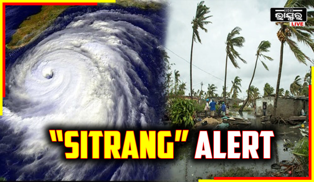
Cyclone “SITRANG” To Intensify Into Severe Cyclonic Storm In Next 12 Hours

In the past six hours, the cyclonic storm “SITRANG” over the west-central and adjacent east-central Bay of Bengal moved north-northeastwards at a speed of 12 kmph. It was centred at 02:30 AM today, October 24, over the same area, about 770 km northwest of Port Blair, 500 km south of Sagar Island, and 650 km south-southwest of Barisal (Bangladesh).
Within the next 12 hours, it is quite likely to keep moving north-northeastward and grow much stronger into a severe cyclonic storm. It is extremely likely to pass the Bangladeshi coast between Tinkona Island and Sandwip close to Barisal early on October 25 as it continues to move north-northeastward after that.
Under its impact, light to moderate rainfall is expected in several locations with sporadic heavy rain expected over Odisha’s coastal districts today and over the state’s northern coastal districts tomorrow i.e. October 25.
Cyclonic storm “SITRANG” over EC and adjoining areas of WC & NW BoB near lat 17.80N and long 88.60E, 430 km south of Sagar Island and 580 km S-SW of Barisal . To move N-NE and intensify further into a SCS in next 12 hours. To cross Bangladesh coast 25th October early mrng pic.twitter.com/GB6LChqpVZ
— India Meteorological Department (@Indiametdept) October 24, 2022
Most locations will have light to moderate rainfall today, with isolated areas of heavy to very heavy rainfall anticipated across West Bengal’s coastal districts (South and North Parganas, East and adjacent West Medinipur). Tomorrow, October 25, there will likely be light to moderate rain in several places and sporadic heavy to very heavy rain over West Bengal’s coastal districts (South & North Parganas and Nadia).
Fishermen are warned not to go into the northern and adjacent central Bays of Bengal today or tomorrow. Today and tomorrow, fishermen are urged not to enter into the sea near the beaches of West Bengal, Bangladesh, and Odisha. It is advisable for fishermen at sea to head back to land, the IMD warned.
 Home
Home Videos
 Odisha
 Nation
 World
World Crime
Crime Politics
 Sports
 Health
 Lifestyle
 Business
 Education
 Entertainment
Comments are closed.