

Red Warning Issued: Heavy Rainfall to Drench 6 Districts in Odisha Tomorrow
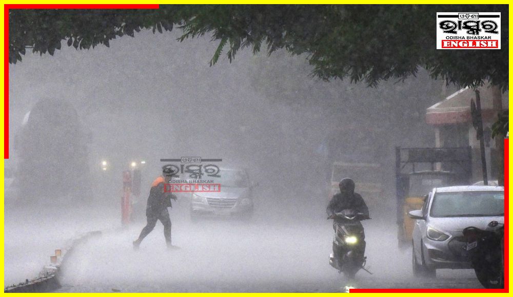

Bhubaneswar: The India Meteorological Department (IMD) regional centre has issued a Red Warning for the next 24 hours in several districts of Odisha, indicating the likelihood of extremely heavy rainfall at one or two places. This is due to the prevalent monsoon trough and a Deep Depression that has formed over Gangetic West Bengal and is now moving west-northwestwards towards Jharkhand. The depression is expected to weaken into a Well Marked Low-Pressure Area in the subsequent 24 hours.
As a result of the vigorous Southwest Monsoon, Odisha is expected to experience heavy to very heavy rainfall, with isolated areas likely to receive extremely heavy rainfall (>20cm) in districts such as Sundergarh, Jharsuguda, Bargarh, Bolangir, Sonepur, and Sambalpur.
For Wednesday (Valid up to 0830 hrs IST of 03.08.2023)
Red Warning (Take Action)- Heavy to very heavy rainfall (7 to 20 cm) at a few places over the districts of Sundergarh, Jharsuguda, Bargarh, Bolangir, Sonepur, Sambalpur, Deogarh, Angul, Keonjhar, Boudh with isolated extremely heavy rainfall (>20cm) is very likely to occur over the districts of Sundergarh, Jharsuguda, Bargarh, Bolangir, Sonepur and Sambalpur.
Orange Warning (Be Prepared)- Heavy to very heavy rainfall (7 to 20cm) is very likely to occur at one or two places over the districts of Dhenkanal, Mayurbhanj, Nuapada, Kalahandi and Kandhamal.
Yellow Warning (Be Updated)- Heavy rainfall (7 to 11cm) is very likely to occur at one or two places over the districts of Balasore, Bhadrak, Cuttack, Nayagarh, Nabarangpur and Jajpur.
For Thursday (Valid from 0830 hrs IST of 03.08.2023 to 0830 hrs IST of 04.08.2023)
Yellow Warning (Be Updated)- Heavy rainfall (7 to 11cm) is very likely to occur at one or two places over the districts of Sundergarh, Jharsuguda and Bargarh.
 Home
Home Videos
 Odisha
 Nation
 World
World Crime
Crime Politics
 Sports
 Health
 Lifestyle
 Business
 Education
 Entertainment
Comments are closed.