

Cyclonic Storm Over BoB by Tomorrow, Know the Coast Where It’ll Cross as Severe Cyclonic Storm
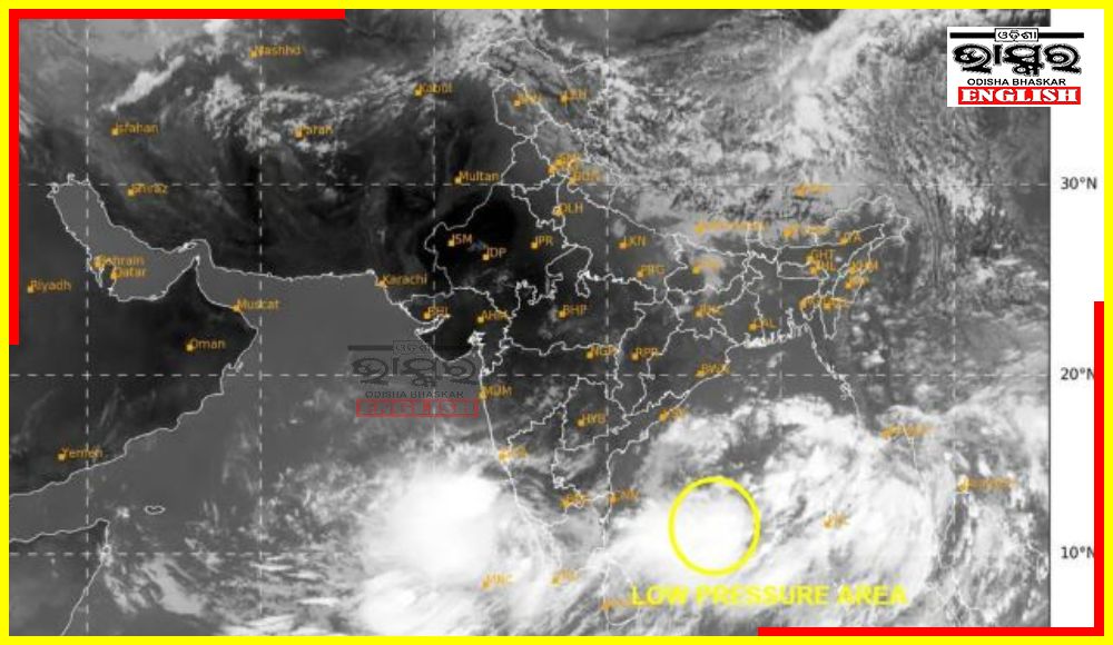

Bhubaneswar: The well-marked low-pressure system over the Bay of Bengal is likely to intensify into a cyclonic storm by tomorrow morning. It will then transform into a severe cyclonic storm by May 26 evening, forecasted India Meteorological Department (IMD). It is expected to reach the Bangladesh and West Bengal Bengal coastline on Sunday evening.
But this cyclone will not have any direct impact on Odisha.
The IMD has issued warnings, anticipating the cyclone to escalate into a severe storm by May 25. After the system turns into a cyclone, it will be called Remal, a name given by Oman.
Cyclone Remal is likely reach the Bangladesh and West Bengal coasts by the evening of May 26 with wind of 100 to 120 kmph. The IMD has termed it as a severe cyclonic storm.
The possible location and time of the landfall has not been declared yet by the IMD.
This cyclonic formation will make the sea very rough, So, the the IMD has advised fishermen not to venture into the sea between May 24 and May 27, even in Odisha, where there will be least impact.
According to the IMD, on May 26 and 27, light to moderate rainfall is expected at most places, with heavy to very heavy rainfall at isolated locations, over the coastal districts of West Bengal and the adjoining districts of north Odisha.
Several parts of Odisha will witness rainfall activities because of it. Heavy to very heavy rain is likely to happen at some places in Balasore, Bhadrak and Kendrapada districts of Odisha.
 Home
Home Videos
 Odisha
 Nation
 World
World Crime
Crime Politics
 Sports
 Health
 Lifestyle
 Business
 Education
 Entertainment
Comments are closed.