

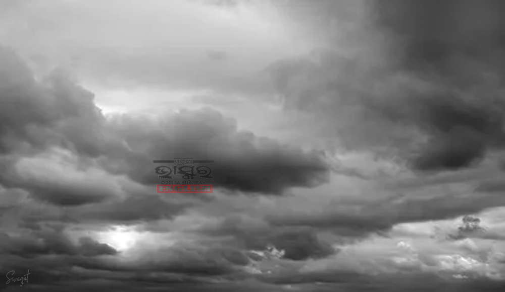
Fresh Low-Pressure Area to Trigger Heavy Rainfall in Odisha: IMD Issues Orange Warning

Bhubaneswar: A new low-pressure area is expected to develop over the east-central and adjoining North Bay of Bengal on August 29, according to the India Meteorological Department (IMD). This system is likely to move west-northwestwards, affecting the southern Odisha and northern Andhra Pradesh coasts over the following two days.
As a result, several regions in Odisha are expected to receive heavy rainfall on August 30 and 31, 2024. The IMD has issued an orange warning in response to the anticipated downpour.
Meanwhile, the existing low-pressure area over Jharkhand and nearby regions is projected to continue moving west-northwestwards, impacting Jharkhand, northern Chhattisgarh, and adjoining southeast Uttar Pradesh. It is expected to weaken gradually within the next 24 hours.
Weather Forecast:
Day 1 (Valid until 0830 hrs IST, 28.08.2024):
- Yellow Warning: Heavy rainfall (7-11cm) likely in Sundargarh, Mayurbhanj, Keonjhar, Jharsuguda, Sambalpur, Deogarh, Bargarh, Angul, Nayagarh, Khordha, Cuttack, Dhenkanal, Jajpur, Kendrapara, Bhadrak, Puri, and Jagatsinghpur districts.
Day 2 (Valid from 0830 hrs IST, 28.08.2024 to 0830 hrs IST, 29.08.2024):
- Yellow Warning: Heavy rainfall (7-11cm) with thunderstorms and lightning expected in Keonjhar, Mayurbhanj, Koraput, Malkangiri, Rayagada, Gajapati, and Ganjam districts.
Day 3 (Valid from 0830 hrs IST, 29.08.2024 to 0830 hrs IST, 30.08.2024):
- Orange Warning: Heavy to very heavy rainfall (7-20cm) and thunderstorms with lightning likely in Malkangiri, Koraput, Nabarangpur, and Rayagada districts.
Day 4 (Valid from 0830 hrs IST, 30.08.2024 to 0830 hrs IST, 31.08.2024):
- Orange Warning: Isolated heavy to very heavy rainfall (7-20cm) with extremely heavy rainfall (>20cm) in Malkangiri and Koraput districts.
 Home
Home Videos
 Odisha
 Nation
 World
World Crime
Crime Politics
 Sports
 Health
 Lifestyle
 Business
 Education
 Entertainment
Comments are closed.