

Odisha: Low Pressure to Form Over Bay of Bengal, Heavy Rain Likely in Next 72 Hours
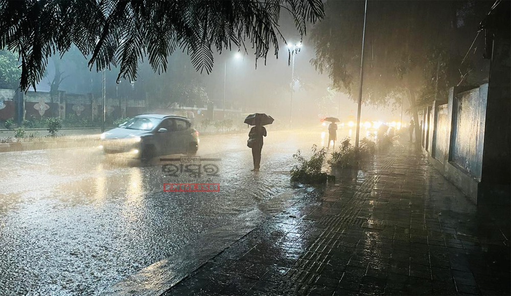

Bhubaneswar: Odisha is expected to receive widespread rainfall in the coming days due to a cyclonic circulation, which may intensify into a low-pressure area over the Northwest Bay of Bengal. The India Meteorological Department (IMD) has issued advisories for the state.
September 11:
– Yellow Warning: Thunderstorms and lightning may occur in several districts, including Balangir, Sonepur, Nuapada, and Boudh. Heavy rainfall is likely in isolated places like Sambalpur, Jharsuguda, Bargarh, Sundergarh, Malkangiri, Koraput, Nawarangpur, Gajapati, and Kalahandi.
September 12:
– Yellow Warning: Thunderstorms and lightning are expected in various districts. Heavy rainfall may occur in Cuttack, Angul, Dhenkanal, Nayagarh, Boudh, Ganjam, Kandhamal, Koraput, Nabarangpur, and Kalahandi.
September 13:
– Orange Warning: Heavy to very heavy rainfall is expected in Ganjam, Nayagarh, Boudh, and other districts.
– Yellow Warning: Heavy rainfall may occur in several places.
September 14:
– Orange Warning: Heavy to very heavy rainfall is likely in Khurda, Puri, Ganjam, and other districts.
– Yellow Warning: Heavy rainfall may occur in various places.
September 15:
– Orange Warning: Heavy to very heavy rainfall is expected in multiple districts.
– Yellow Warning: Heavy rainfall may occur in isolated areas.
The Met office warns of potential waterlogging, agricultural inundation, damage to infrastructure, and reduced visibility in urban areas. Farmers are advised to delay fertilizer/chemical application and ensure the safety of livestock.
This wet spell may help alleviate Odisha’s rain deficit, as the state has recorded below-average rainfall this monsoon season. While 10 districts are experiencing a shortfall, the remaining 20 are in the normal category.
 Home
Home Videos
 Odisha
 Nation
 World
World Crime
Crime Politics
 Sports
 Health
 Lifestyle
 Business
 Education
 Entertainment
Comments are closed.