

Another Low Pressure Over Bay Of Bengal Likely Around July 4; Check Forecast
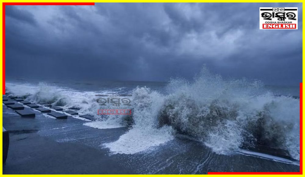

Bhubaneswar: Odisha can look forward to some relief from the sultry weather conditions, a low-pressure area is likely to form over the Bay of Bengal around July 4, the India Meteorological Department (IMD) forecasted.
In its extended range outlook, IMD said a low-pressure area over the northwest, adjoining west-central Bay of Bengal and coastal areas is likely to form around Tuesday (July 4). Along with offshore troughs, the low-pressure area is likely to cause active monsoon conditions over the country. The models suggest subsequent west-northwestwards movement of the system over the land without further intensification, said the national weather forecaster.
Below is the day-wise forecast in this connection.
July 3: Heavy rainfall is very likely to occur in one or two places over the districts of Gajapati, Ganjam, Rayagada, Koraput, Malkangiri, Nabarangpur, and Kalahandi.
Thunderstorms with lightning are very likely to occur at one or two places over the districts of Balasore, Bhadrak, Jajpur, Kendrapara, Cuttack, Jagatsinghpur, Puri, Khurda, Nayagarh, Ganjam, Gajapati, Malkangiri, Koraput, Rayagada, Kalahandi, and Nabarangpur.
July 4: Heavy rainfall is very likely to occur at one or two places over the districts of Malkangiri, Koraput, Rayagada, Nabarangpur, Kalahandi, Kandhamal, Nuapada, Gajapati and Ganjam.
July 5: Heavy rainfall is very likely to occur in one or two places over the districts of Malkangiri, Koraput, Nabarangapur, Kalahandi, Bolangir, and Nuapada.
 Home
Home Videos
 Odisha
 Nation
 World
World Crime
Crime Politics
 Sports
 Health
 Lifestyle
 Business
 Education
 Entertainment
Comments are closed.