

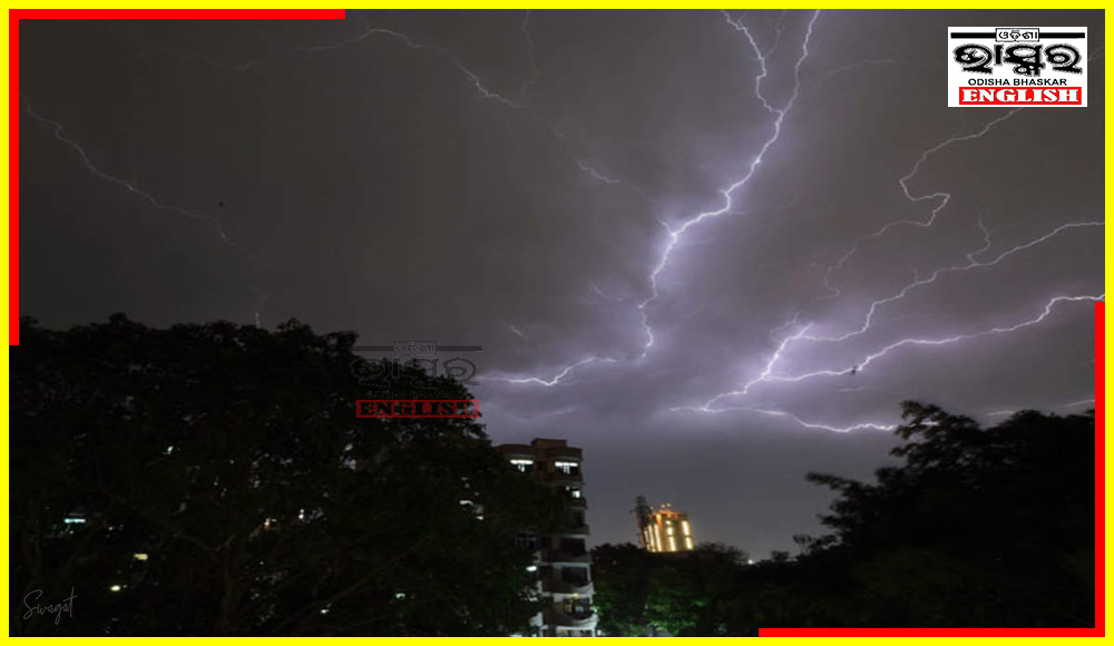
IMD Issues Orange Warning for Thunderstorms, Lightning and Gusty Winds in Odisha

Bhubaneswar: The India Meteorological Department (IMD) forecast on Monday that a cyclonic circulation is currently situated over south Jharkhand, while the previously observed trough extending from northeast Bihar to north Odisha has weakened.
According to the latest forecast, Odisha is expected to experience a decrease in maximum temperatures by 4-6 degrees Celsius over the next 3-4 days. This drop in temperature is attributed primarily to Nor’westers which are expected to affect various regions of the state in the upcoming days.
Additionally, the IMD has issued an orange warning for thunderstorms, lightning, and gusty winds across different parts of Odisha. This advisory aims to alert residents and authorities to the potential hazards associated with these weather conditions.
Weather Forecast
Day 1 (Valid upto 0830 hrs IST of 07.05.2024)
Orange Warning: Thunderstorms with lightning accompanied with gusty surface wind speed reaching 40-50 KMPH and hailstorm is very likely to occur over the districts of Ganjam, Nayagarh, Khordha, Puri.
Day 2 (Valid from hrs IST of 07.05.2024 upto 0830 hrs IST of 08.05.2024)
Orange Warning: Thunderstorm with lightning accompanied with gusty surface wind speed reaching 40-50 KMPH and heavy rainfall is very likely to occur over the districts of Mayurbhanj, Keonjhar, Balasore, Ganjam, Gajapati and Kandhamal.
Day 3 (Valid from hrs IST of 08.05.2024 upto 0830 hrs IST of 09.05.2024)
Orange Warning: Thunderstorm with lightning accompanied with gusty surface wind speed reaching 40-50 KMPH and heavy rainfall is very likely to occur over the districts of Mayurbhanj, Keonjhar, Balasore, Ganjam, Gajapati and Kandhamal.
 Home
Home Videos
 Odisha
 Nation
 World
World Crime
Crime Politics
 Sports
 Health
 Lifestyle
 Business
 Education
 Entertainment
Comments are closed.